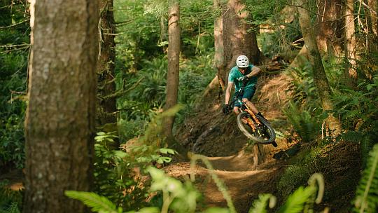
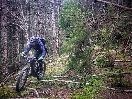
NEW!! 100 Acre Wood - Coquille Oregon are ready to ride! See City of Coquille link to more information and trail maps! The trails were designed and built by the same company as Whiskey Run. Support the City of Coquille and partners in their development of this system! From the City's website:
The Hundred Acre Wood Trails is a project proposed by the City of Coquille for a trail system and an improved parking area on 144 acres of city-owned timber property located within city limits. The first phase would include approximately 5 miles of hiking, mountain biking, and multi-use trails, as well as a parking area with a plumbed restroom, ADA parking, electric vehicle charging, a picnic area, and a pavilion. The city is currently applying for outside grant funding for this project, with a goal of beginning construction as early as fall 2022..jpg)
Click the links below to see the full trail design
Hundred Acre Wood Trail Design
Proposed Parking Lot Plan
Map of Proposed Trails
Hundred Acre Wood Photo Gallery
Whisky Run Mountain Biking Trails - Open for riding for several years now! The Coos County Forest mountain bike trails network just north of Bandon! 10 miles of dedicated purpose-built mountain bike trails for all ages and abilities. See press release here. See MtbProject maps of trails here. Designed by Eddie Kessler - here's a snapshot review by BKXC: “Eddie Kessler and his Ptarmigan Ptrails crew have NAILED the fun factor on these trails. Most of the runs are less than 500 feet of descent, but they keep you oh so active. Smiles for miles!” Many agencies, organizations, private businesses, and people provided logistical support, did test runs,and financial and supplies support.
To get there go 9.5 miles north on Hwy 101 from Bandon to West Beaver Hill Road, then go 1.5 miles northwest to Whiskey Run road, then go left (west) approx. 0.5 mile downhill to large gravel parking lot on the right (north side) with sign/map of trails at the trailhead. There are currently two other access points to the trails: One is further west on Whiskey Run road, the other further north on West Beaver Hill Road.
Fat Biking the Southern Oregon Coast - see brochure here.
Wild Rivers Coast Scenic Bikeway - Officially designated by the State of Oregon in June 2015, this Scenic Bikeway starts and finishes in Port Orford, which is just 25 miles south of Bandon. From the wild and scenic Elk River, to Cape Blanco, Paradise Point, Garrison Lake, and Port Orford Heads, this 60 mile ride offers a wide variety of beauty. South Coast Bicycles was on the original Proponent Group and route selection - a five year process. See the Map and Cue Sheet Here
Travel Oregon - Bicycling - State of Oregon official site
Trans America Trail - offroad route across the United States that finishes at Port Orford - Transam Map
Winchester Trails - 10 miles north of Bandon on Hwy 101 - Trail Map
Blue Ridge Trails - 15 miles east of Coos Bay - Trail Map
Blacklock Point Trails - 17 miles south of Bandon - Area Map
Cape Blanco State Park - 20 miles south of Bandon - Map on page 2
Euphoria Ridge Trails - 30 miles east of Bandon - Trail Map
Oregon Coast Trail - North Bend to Bandon - On and off the beach!
Oregon Coast Trail on the beach from Bandon to Port Orford - Ride the beach!
Oregon State Map showing beach driving access legend on left side of map - Large PDF Map - and this link to OAR's detailing by exactly where motorized access on beach is and is not allowed, listed by county north to south.
Bandon Cranberry Century Bike Ride (Bandon-Sitkum)
Powers Area Road Rides (Tour de Fronds)
Powers Area Gravel Bike and Mountain Bike Rides (Tour de Fronds)
Bike Packing - Oregon 3 Rivers Route
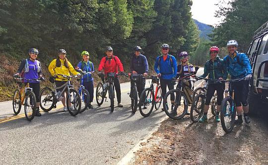
The Wild Man of Nugget Tom's Lost Mine Adventure Ride - The Original - hosted by South Coast Bicycles April 2017 - assembling for start of ride, This ride was inspired by this Curry County Historical Society article: The Lost Mine of Nugget Tom
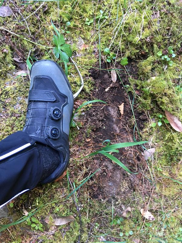
The Wild Man of Nugget Tom's Lost Mine - Wild Man Print - South Coast Bicycles - from another different ride in an off-track very remote location. Print was relatively fresh and deep, and a ridge pushed out to the right side from weight, along with other features. My own weight made no real impression on the surface.
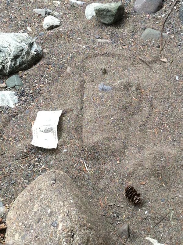
The Wild Man of Nugget Tom's Lost Mine - Wild Man Print - South Coast Bicycles - yet another different ride in an off-track remote location. This print was one of several across the hardpack sandbar, with long (approx. 6') stride between the prints. The photo doesn't really show the magnitude well like it did in person, so a dollar bill was laid alongside for some reference.
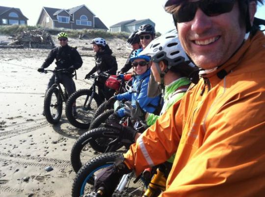
Fatbike Expedition June 2015 for establishing Fatbike Routes on Oregon Coast and the creation of official maps, brochures, and other resources for Oregon Tourism (Travel Oregon), see Travel Oregon Fat Biking Rides - development and hosting by South Coast Bicycles
